

Waterfront Buyer Due Diligence
Deep Water Access Homes in Tampa Bay
Current deep water and private dockage listings across St. Petersburg, Tierra Verde, the Gulf Beaches, and the wider Tampa Bay market — followed by the field procedure for verifying the depth yourself at low tide, before you write an offer.
Nothing in the MLS certifies how much water sits under a dock. Depth claims come from the seller, in a market where the mean tidal range at St. Petersburg is only about 1.6 ft and a winter north wind can take the real low a foot below prediction. The difference between four feet and three feet at mean lower low water is the difference between a boat you can use on a schedule and a boat you can use on a tide.
Available Now
Deep Water Access Homes For Sale in Tampa Bay
These are live waterfront listings whose own MLS details cite deep water, dockage, a private dock, a lift, or passage without fixed bridges. Depth and dock details are reported by the seller and are not verified by the MLS or by us — use the listings to build a shortlist, then verify each one on the water.
Any Price
Property Type (2)
335 results
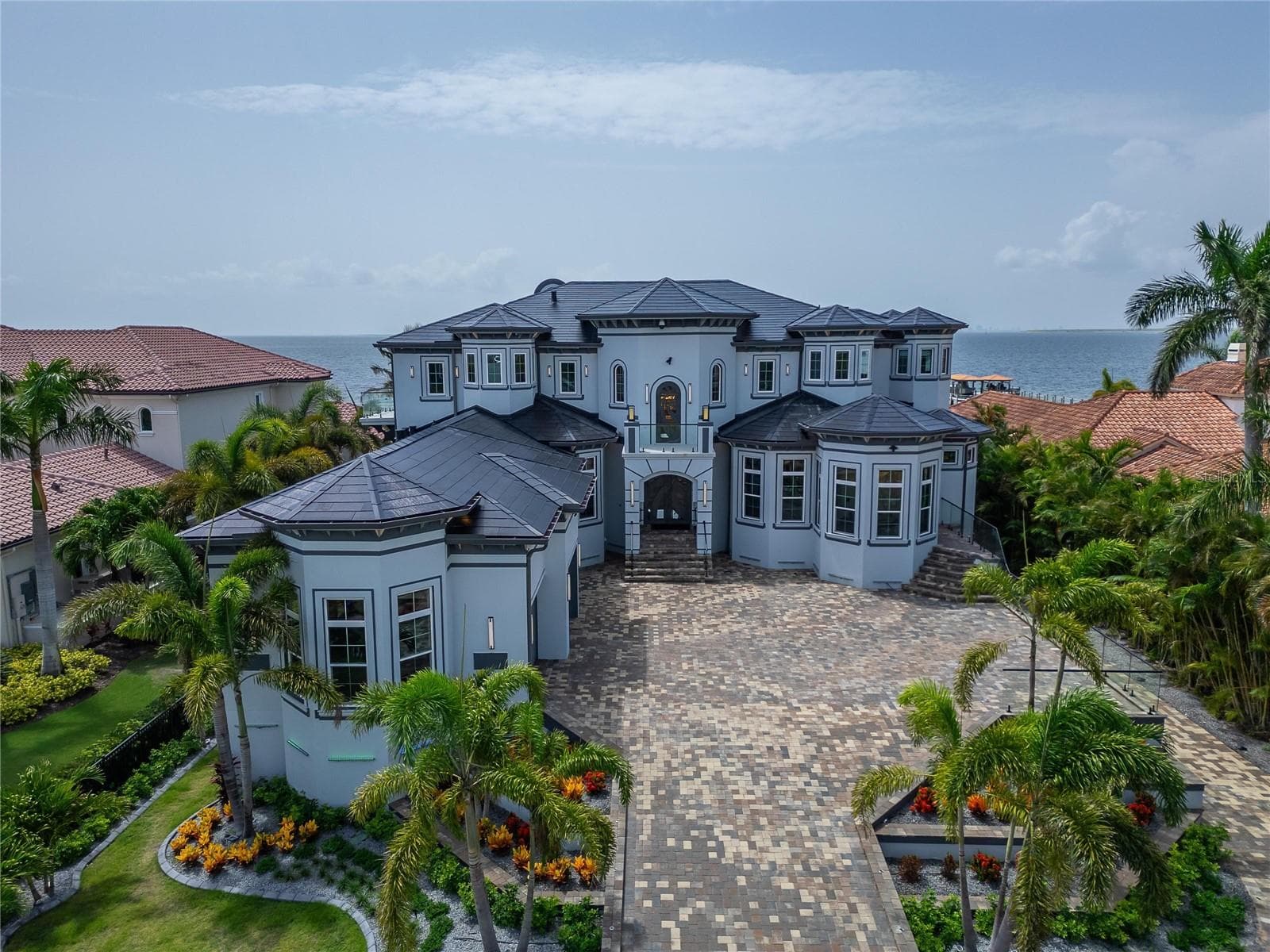
$16,740,000
6526 Surfside Boulevard
Apollo Beach, Florida 33572
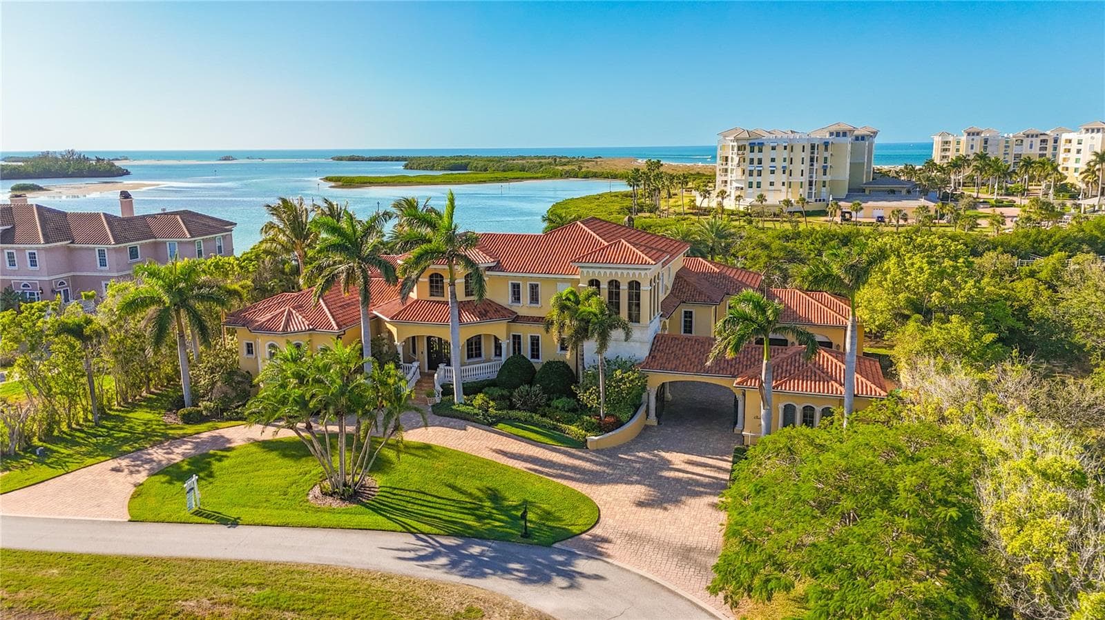
$10,999,000
1363 Oceanview Drive
Tierra Verde, Florida 33715
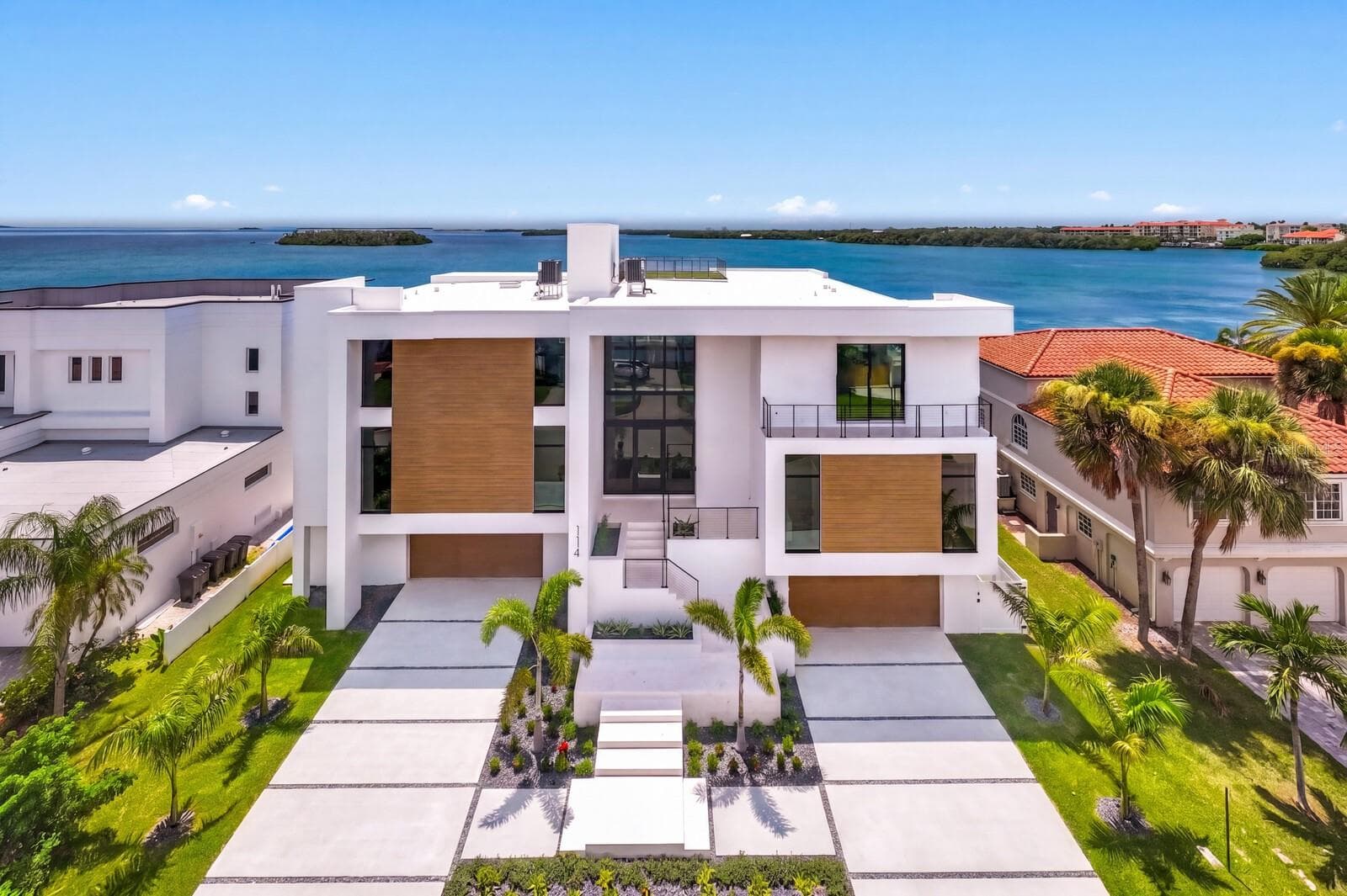
$10,500,000
114 Sands Point Drive
Tierra Verde, Florida 33715
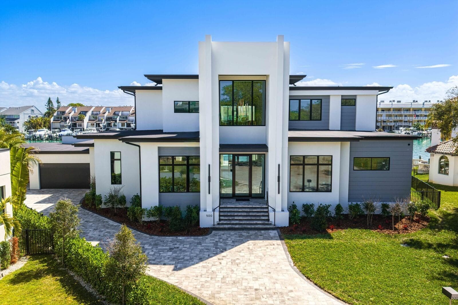
$8,950,000
500 Barcelona Drive
Tierra Verde, Florida 33715
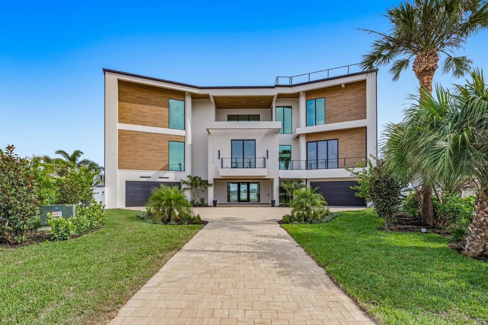
$8,100,000
6503 Debbie Lane S
St Petersburg, Florida 33707
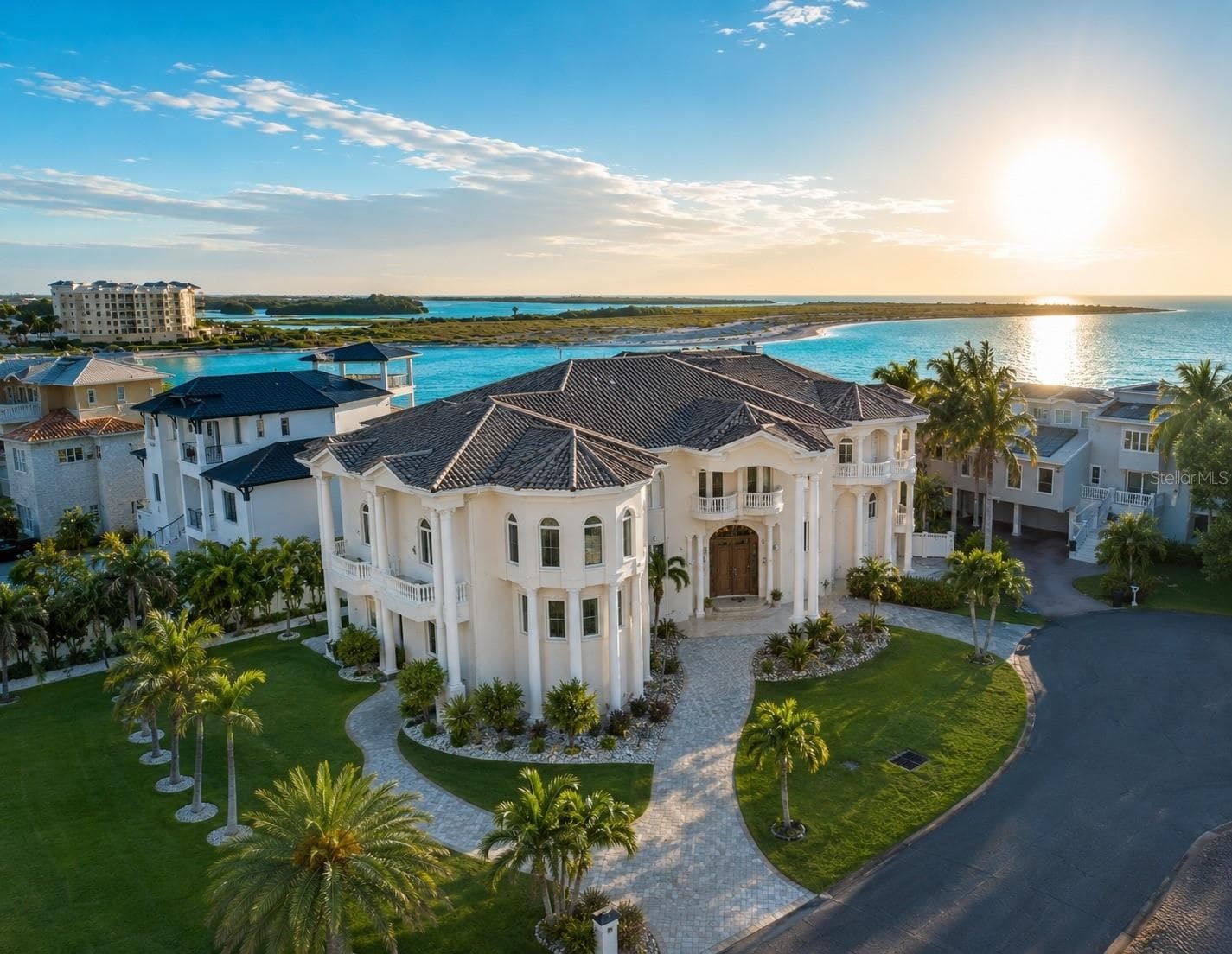
$7,250,000
774 Nina Drive
Tierra Verde, Florida 33715
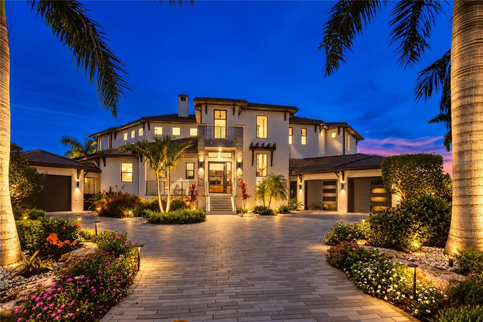
$7,200,000
206 6th Street E
Tierra Verde, Florida 33715
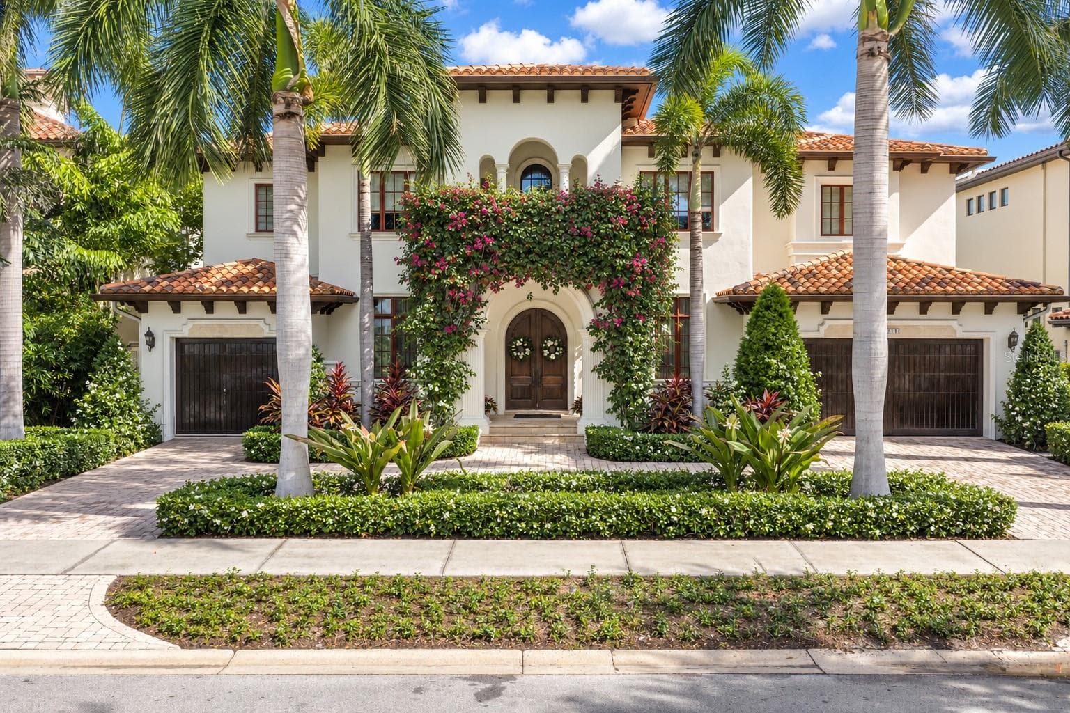
$7,200,000
5013 W San Miguel Street
Tampa, Florida 33629
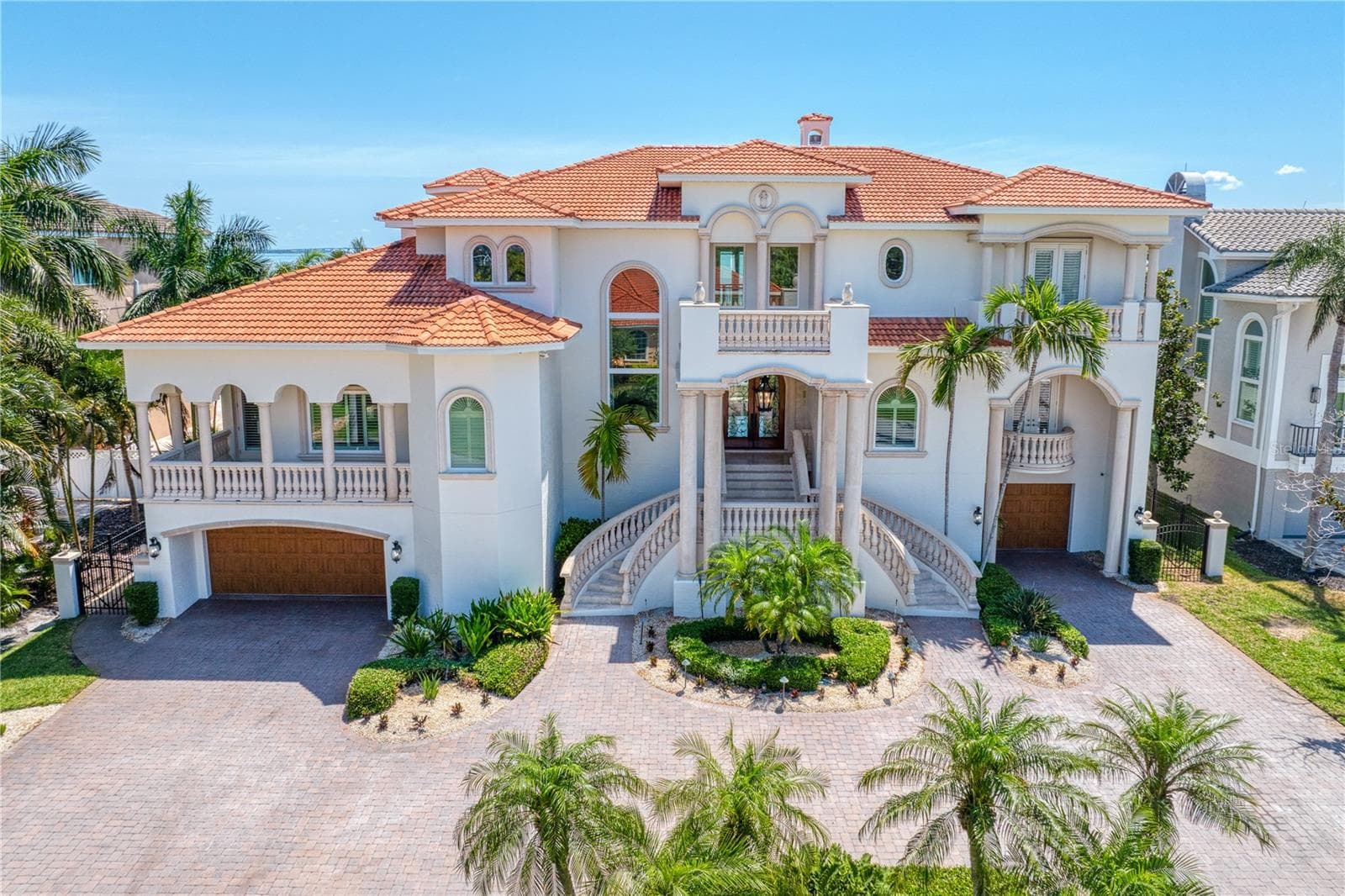
$6,500,000
611 1st Avenue S
Tierra Verde, Florida 33715
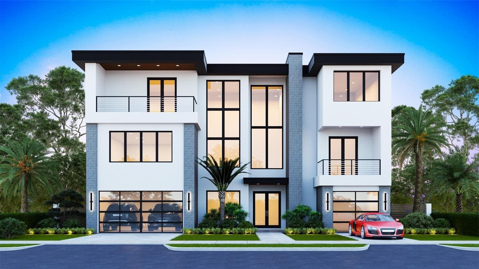
$6,267,714
1013 Symphony Isles Boulevard
Apollo Beach, Florida 33572
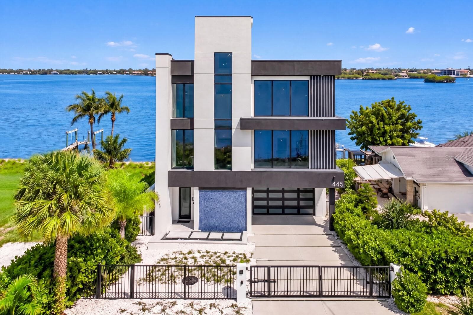
$5,900,000
445 129th Avenue E
Madeira Beach, Florida 33708
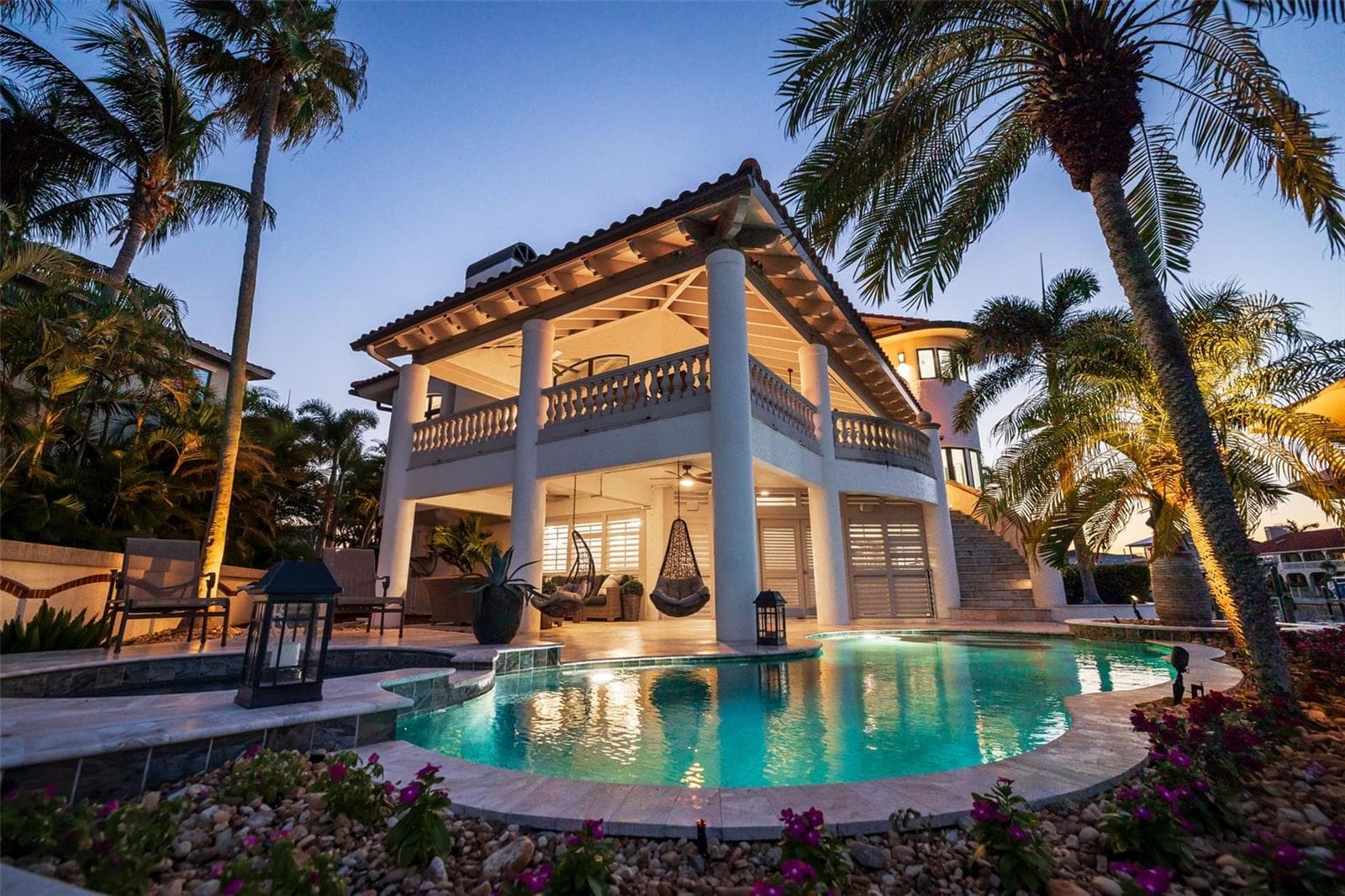
$5,595,000
101 9th Street E
Tierra Verde, Florida 33715
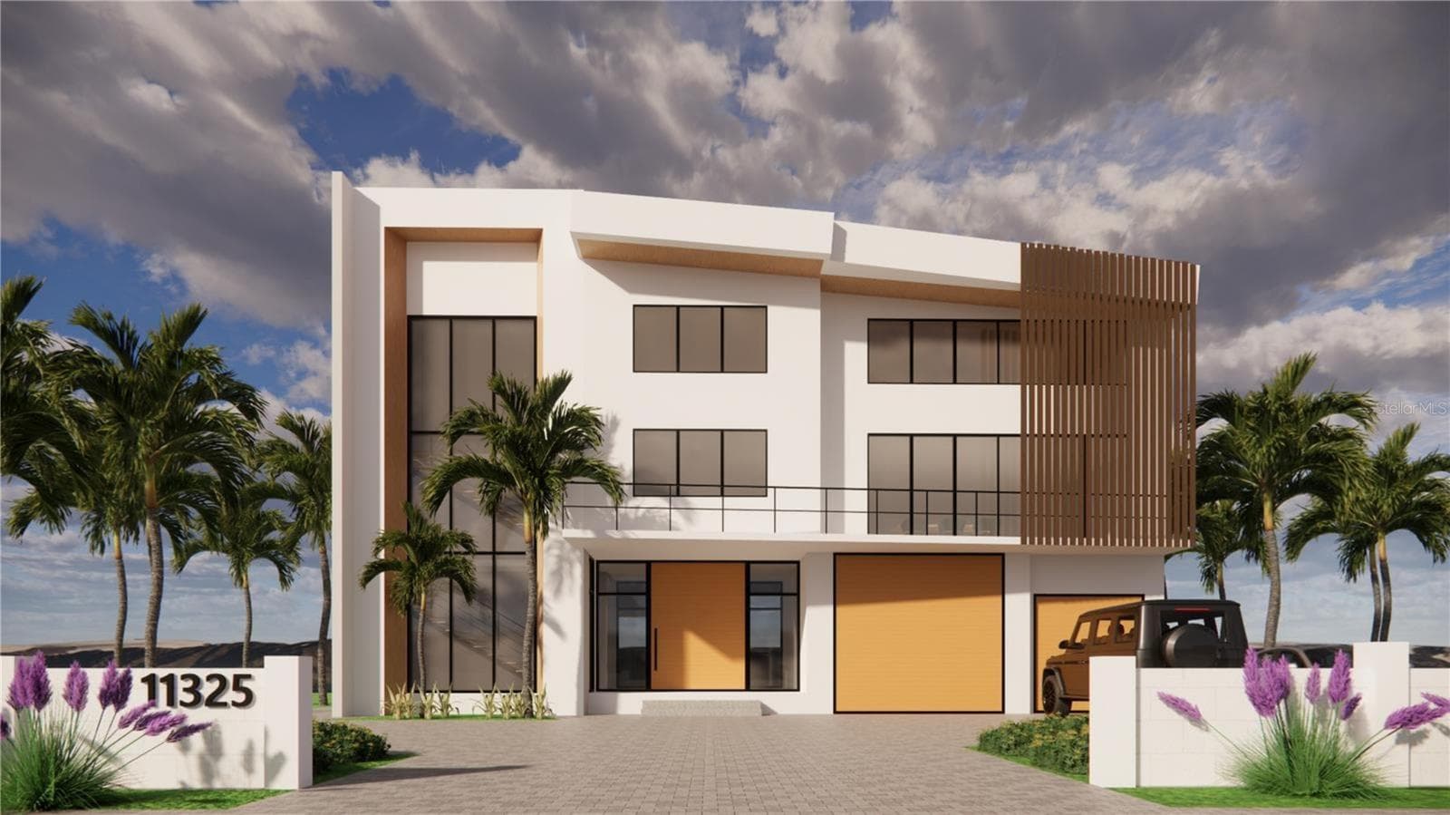
$5,500,000
11325 4th Street E
Treasure Island, Florida 33706
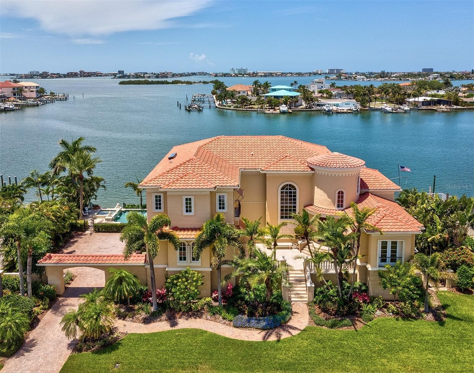
$4,999,000
6224 Pasadena Point Boulevard
Gulfport, Florida 33707
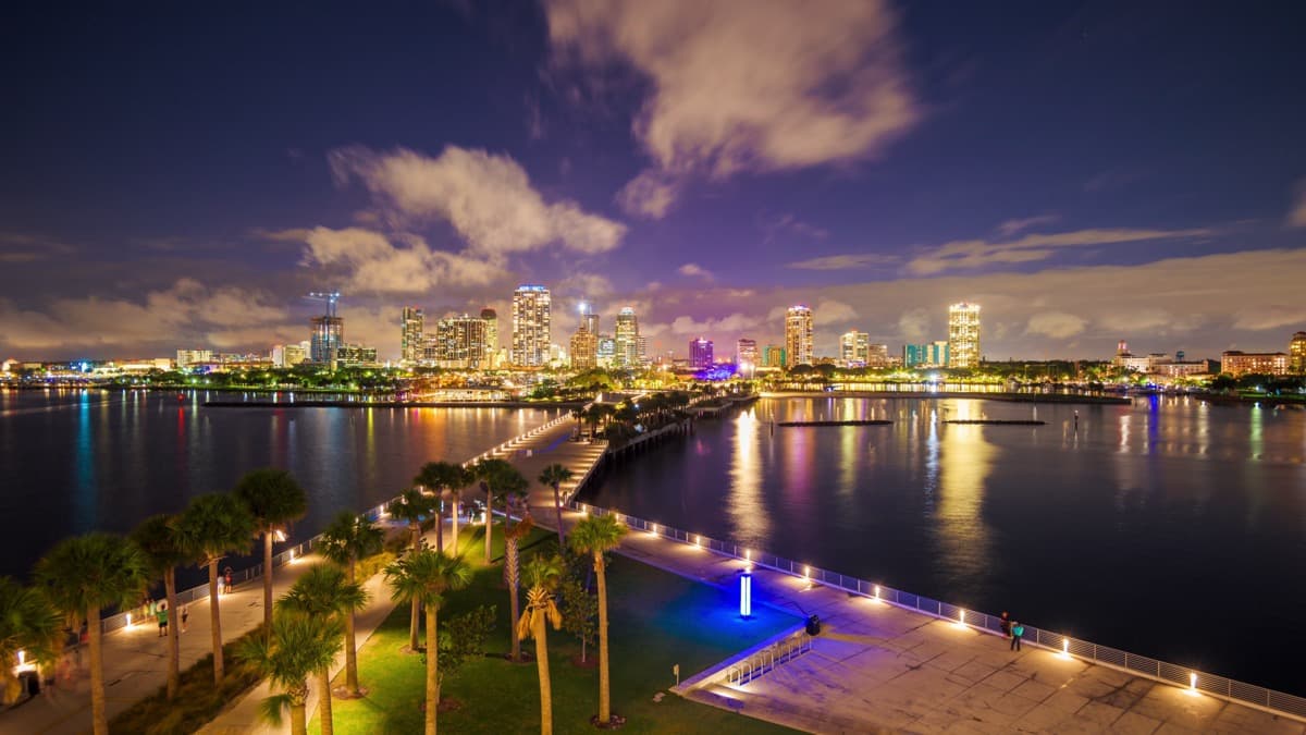
$4,999,000
11245 9th Street E
Treasure Island, Florida 33706
Listing data is provided through IDX Broker and Stellar MLS. Information is deemed reliable but not guaranteed and should be independently verified.
Definitions
What “Deep Water Access” Actually Means
Four phrases get used interchangeably in Tampa Bay listings and mean very different things. Sorting them out is the first step of diligence, because the price premium attached to each is real even when the depth is not.
Waterfront
The parcel touches water. That is all it promises. A seawall on a shallow cove is waterfront, and so is a lot on a creek you cannot float a dinghy in.
Water access
You can reach the water, but not necessarily from your own back yard. This often means a community ramp, a deeded slip elsewhere, or shared dockage — which is worth having, and is not the same as a dock behind the house.
Deep water dockage
Enough water under the dock to keep a boat afloat at any tide, and a navigable route to open water. No depth is implied by the phrase itself — a seller using it about three feet at low tide is not necessarily being dishonest, just imprecise.
Sailboat water
Depth for a keel, plus no fixed bridges between the dock and open water, so mast height is unconstrained. It carries the largest premium in the market, and is the claim most worth checking against a chart.
The Numbers
Mean Low Water vs. Mean Lower Low Water
Tampa Bay runs two unequal low tides a day. Averaging all of them gives mean low water (MLW). Averaging only the lower of each daily pair gives mean lower low water (MLLW), which is lower, more conservative, and the datum NOAA charts use for soundings. A dock quoted at MLW therefore sounds deeper than the same dock quoted at MLLW, which is why a depth figure without its datum is not a depth figure.
The gap between the two is small in absolute terms and large relative to the tidal range, which is itself under two feet across most of the bay. There is not much water in play here, so the half-foot differences matter.
| NOAA Station | Mean Range | Diurnal Range | MLW Above MLLW |
|---|---|---|---|
| St. PetersburgStation 8726520 | 1.59 ft | 2.26 ft | 0.39 ft |
| Old Port TampaStation 8726607 | 1.73 ft | 2.48 ft | 0.44 ft |
| Clearwater BeachStation 8726724 | 1.89 ft | 2.74 ft | 0.51 ft |
| McKay Bay EntranceStation 8726667 | 1.86 ft | 2.68 ft | 0.50 ft |
| Port ManateeStation 8726384 | 1.54 ft | 2.17 ft | 0.36 ft |
Source: NOAA Tides & Currents published tidal datums, 1983–2001 tidal epoch. Mean range is the average difference between high and low water; diurnal range is the average difference between higher high and lower low water. Verify the figures for the station nearest any specific property.
Working the arithmetic
Say you sound 5.5 ft at the end of the dock, and the NOAA prediction for the nearest station at that minute is 1.2 ft above MLLW. Your depth at MLLW is 4.3 ft. If your boat draws 3 ft fully loaded, you have 1.3 ft under the keel on an average lower low tide — workable, until a north wind takes a foot of it.
Run that same arithmetic for the shallowest point between the dock and open water. That number, not the one at the dock, is the one that decides whether you can leave.
Field Procedure
How to Verify Water Depth at a Dock Before You Offer
This takes one morning and a sounding pole, and it is the single highest-value hour of diligence on a waterfront purchase. Do it before the inspection period runs out, and do it on the worst tide you can find rather than the most convenient one.
01
Pick the right window, not just any low tide
Pull the NOAA tide predictions for the station nearest the property and find the lowest tide of the week — ideally a spring tide near a new or full moon, and ideally the day after a cold front, when sustained north wind has pushed water out of the bay. Checking depth at a mid-tide tells you almost nothing.
02
Sound the dock yourself
Bring a weighted sounding pole or a lead line marked in feet. Take readings at the end of the dock, at the lift or slip, at the midpoint, and at the landward end where the bottom rises. Write down each number with the exact time you took it.
03
Correct every reading back to the datum
Your raw reading is depth at that moment, not at low water. Subtract the predicted tide height for that minute to convert it to a depth referenced to MLLW. A 5.5 ft reading taken when the tide was 1.2 ft above MLLW is 4.3 ft at MLLW — not 5.5.
04
Sound the route out, not just the slip
Canals and channel mouths shoal where the current slows. Deep water at the dock means nothing if there is a 2 ft bar between you and open water. Run the whole route at low tide with a depth sounder, or walk it, and note the shallowest point — that number is your real draft limit.
05
Measure the bridges and overheads
Every fixed bridge, power line, and causeway between the dock and open water caps your mast and tower height. Check the charted vertical clearance on the relevant NOAA chart, confirm current conditions in the Coast Guard Local Notice to Mariners, and remember that charted clearance is at mean high water — you get less of it at high tide, not more.
06
Sea trial with the actual boat
The only unambiguous test is bringing the boat you intend to keep there — or one of the same draft — into the slip on a low tide. If you do not own it yet, hire a local captain with a comparable hull.
When to hire it out
On a purchase where the dock is a material part of the value, order a bathymetric or dock depth survey from a marine surveyor. You get soundings referenced to a stated datum, on paper, from a third party — which is also what you want in hand if the depth later turns out to differ from the listing.
Also Verify
What Else to Check on a Deep Water Property
Depth is the headline risk, not the only one. These are the items that most often surface after closing on waterfront in Pinellas and Hillsborough counties.
Dock and lift permits
Ask for the permits for the dock, seawall, and lift. Unpermitted or expired structures transfer to you as the owner, along with the cost of bringing them into compliance or removing them.
Seawall condition
Have the seawall inspected independently of the home inspection. Cap cracks, rotational lean, voids behind the panel, and weep-hole failure are expensive, and a general home inspector will not scope them.
Lift capacity
Confirm the lift is rated for your boat wet, fueled, and loaded — not its dry hull weight. Get the rating in writing and the most recent service record.
Dredging is not a fallback
Do not buy shallow water assuming you can deepen it. Within the Boca Ciega Bay Aquatic Preserve, Florida Statute 258.396 bars further dredging and filling of submerged lands except minimum dredging for public navigation projects. State and federal permitting applies elsewhere, and seagrass on the bottom frequently ends the conversation.
Insurance and flood exposure
Get a flood quote and an elevation certificate during the inspection period. On waterfront parcels the premium can move the monthly number more than a quarter-point of rate.
Who owns the bottom
Submerged land in Florida is generally sovereign state land. Confirm the riparian rights, any submerged land lease, and whether a neighboring dock or easement crosses your line of access.
Reading Listings
Listing Language and What It Usually Means
None of these phrases is dishonest on its face. Each one is a claim without a measurement behind it, and each has a specific follow-up question.
"Deep water access"
A marketing phrase with no defined depth behind it. Ask for a number, the datum it references, and who measured it.
"Minutes to the Gulf"
A time estimate, usually at idle speed on a favorable tide. It says nothing about the depth of the route.
"4 ft at the dock"
At low tide or at high tide? Referenced to MLW, MLLW, or nothing at all? An uncorrected reading is not a depth.
"Sailboat water"
Implies both depth and no fixed bridges. Verify both independently — the phrase is used loosely.
"Dock conveys as-is"
Often means there is a known structural or permit problem. Price the repair before you commit.
No depth stated anywhere
On a genuinely deep lot, depth is the headline. Silence usually means the number is not flattering.
Before You Offer
Due Diligence Checklist
On the water
- •Soundings taken at the lowest tide of the week, with times recorded
- •Every reading corrected to MLLW using NOAA predictions
- •Shallowest point on the route to open water identified
- •Fixed bridge and overhead clearances checked on the chart
- •Sea trial, or a local captain in a boat of comparable draft
- •Bathymetric survey ordered where the dock drives the price
On paper
- •Dock, lift, and seawall permits produced by the seller
- •Independent seawall and dock structural inspection
- •Lift capacity rating confirmed against your loaded boat weight
- •Riparian rights, submerged land lease, and easements reviewed
- •Flood quote and elevation certificate in hand
- •Inspection period long enough to reach a suitable low tide
Common Questions
Deep Water Access — Frequently Asked Questions
What counts as a deep water access home in Florida?
There is no legal or MLS definition. In practice, buyers use it to mean a property where a boat can be kept at a private dock and taken to open water at any tide. What depth that requires depends entirely on your boat: a 24 ft center console drafting under 2 ft has very different needs than a sailboat drawing 5 ft. Because the phrase is undefined, treat it as a claim to verify rather than a specification.
What is the difference between mean low water and mean lower low water?
Tampa Bay has two unequal low tides a day. Mean low water (MLW) averages all of them; mean lower low water (MLLW) averages only the lower of each pair, so it is the more conservative figure, and it is the datum NOAA charts use for soundings. At the St. Petersburg station, MLW sits 0.39 ft above MLLW. So a dock advertised at 4 ft at MLW is closer to 3.6 ft at MLLW — and both numbers are averages you will fall below on the lowest tides of the year.
How do I check the water depth at a dock?
Go at the lowest tide of the week with a marked sounding pole or lead line. Take readings at the end of the dock, at the slip or lift, and at the landward end, recording the exact time of each. Then subtract the predicted tide height for that minute from each reading to convert it to a depth at MLLW. Finally, sound the route from the dock to open water — the shallowest point on that route, not the depth at the slip, is what limits your boat.
How much clearance should I add above my boat draft?
Start with draft at full load, then add for squat, wake, and a safety margin, and subtract for the fact that charted and advertised depths are averages. A common working rule is one to two feet of water under the keel at MLLW beyond your loaded draft. Build in more if the bottom is hard or rocky, if the route has a shoaling bar, or if you plan to come and go on a schedule rather than waiting for tide.
Can the tide go below mean lower low water in Tampa Bay?
Routinely. MLLW is a long-term average, so roughly half of the lower low tides fall below it. The bigger factor is wind: sustained north or northeast wind behind a winter cold front pushes water out of the bay, and the actual low can run a foot or more below the prediction. Those are the days that strand boats, and the days worth checking a prospective dock.
Can I dredge to get more depth?
Usually not, and never assume it. Within the Boca Ciega Bay Aquatic Preserve, Florida Statute 258.396 prohibits further dredging and filling of submerged lands apart from minimum dredging for public navigation projects. Elsewhere you face state environmental resource permitting and federal authorization, and seagrass on the bottom routinely makes a navigation dredge permit unobtainable. Buy the depth you need; do not buy a plan to create it.
Is the water depth in the MLS listing reliable?
It is seller-reported and unverified. The feed carries Water Access, Water Extras, and water frontage fields plus free-text remarks, none of which are measured or audited by the MLS. Depth figures in a listing are a starting point for your own verification, not a disclosure you can rely on.
What should go in my offer to protect me on depth?
Keep the inspection period long enough to get to a suitable low tide — a short period can expire before one arrives. Make the offer contingent on satisfactory marine survey and dock and seawall inspection, request the dock, lift, and seawall permits as part of seller disclosure, and where depth drives the price, put the verified number and datum in writing rather than relying on the listing language.
Keep Reading
Next Steps
Checking a Dock Before You Offer?
We will pull the tide windows for the property, walk the dock with you, and sound the route to open water before you commit — on any deep water listing in Tampa Bay, whether or not it is one of ours.